CCD Antenna at Tehachapi

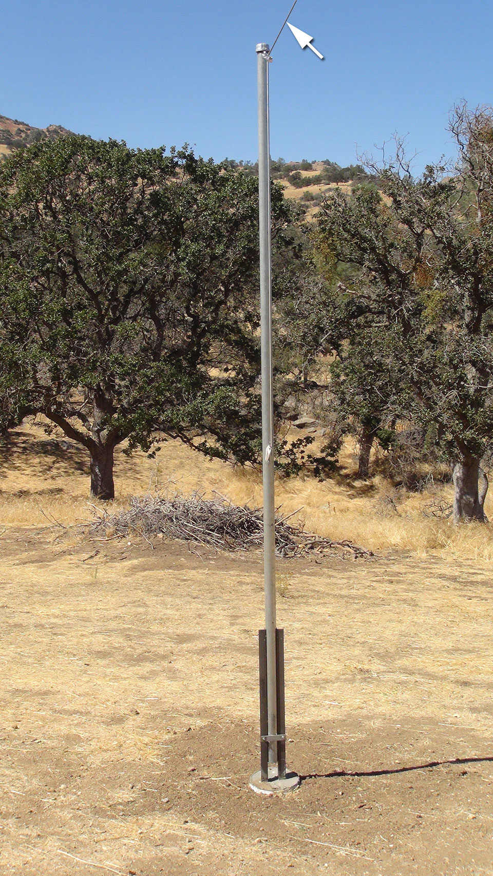
The northwest antenna support pole is eleven feet high, and is downslope from the primary pole. By removing one bolt the pipe can be tilted and brought to ground level. Also, the nylon line can be unwrapped from its cleat and used to lower the antenna’s end to within easy reach while the pipe remains vertical. Think “flagpole.”

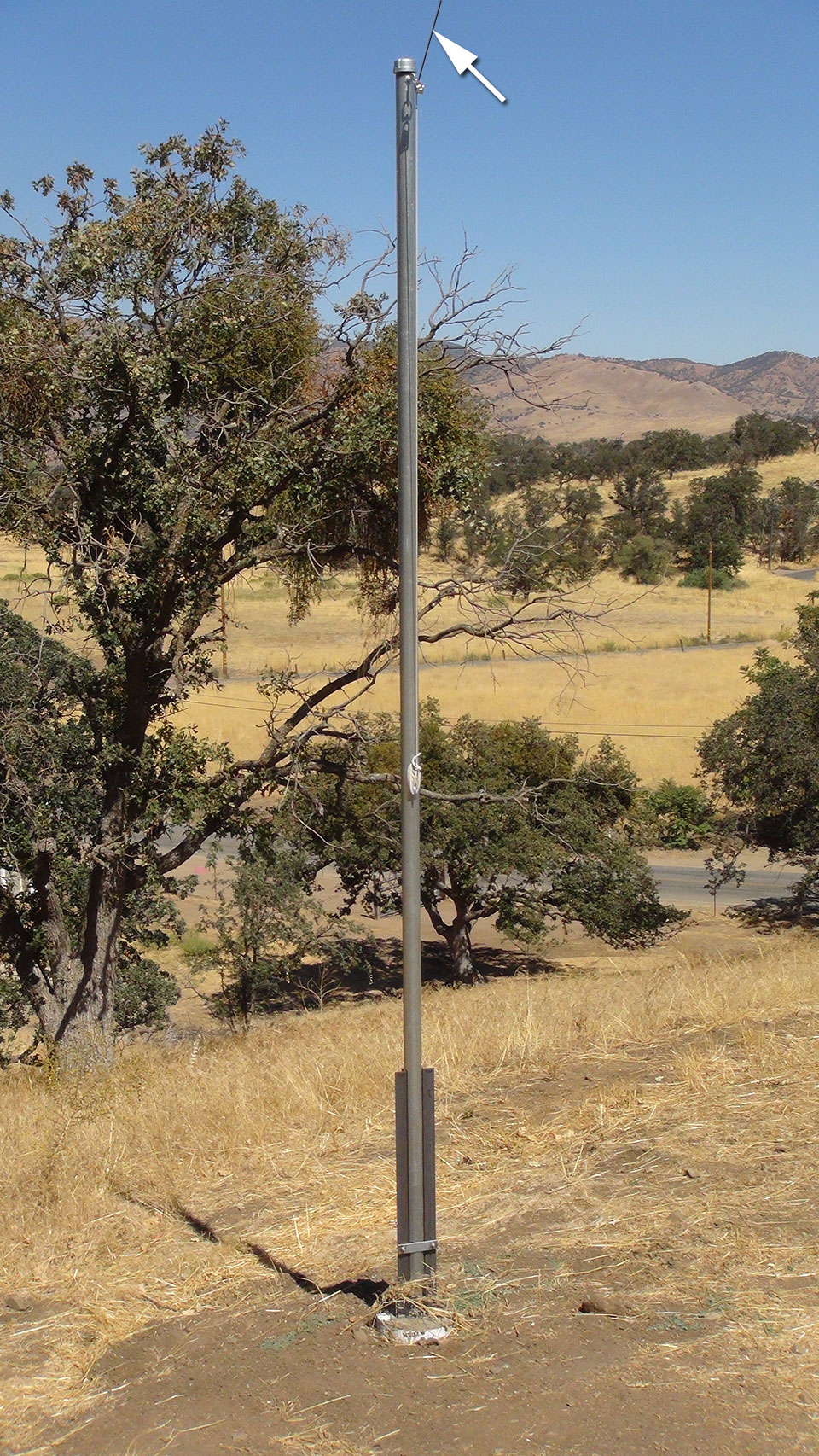
The northeast pole is at the same height and functions in the same manner as the northwest pole. Notice the partially visible paved road down the slope and beyond the oak trees in the background, which is mentioned again farther down this page.

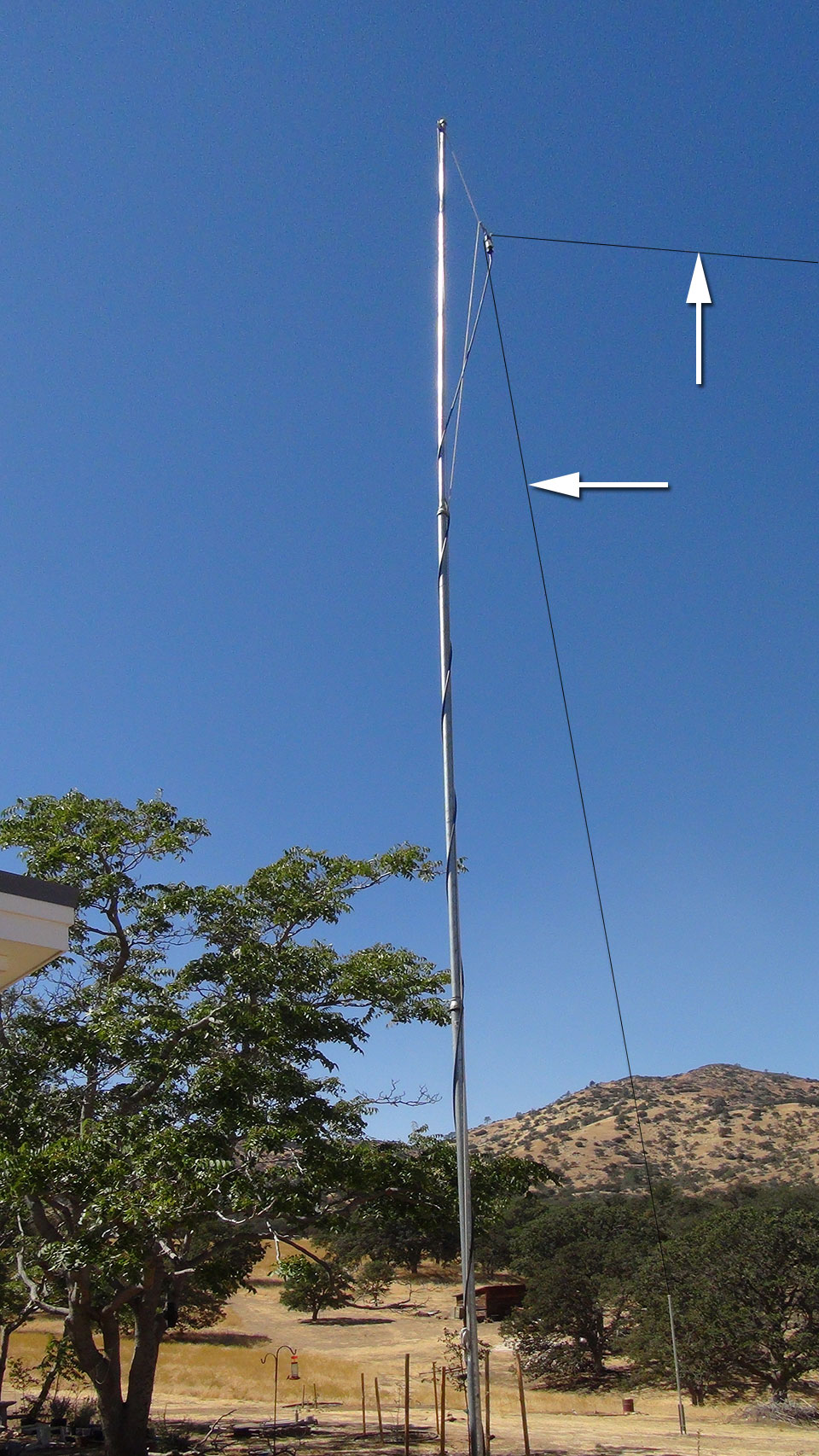
The center support pole extends thirty-six feet into the air. The antenna’s feed point (balun) is at thirty-five feet, allowing the antenna some clearance from the steel support pole. Although it may appear that the antenna elements are less than ninety degrees apart, this is due to the camera’s angle. That is, the antenna halves are at ninety degrees with respect to each other.

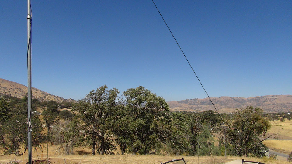
The paved road seen at the lower right corner is fifty-one feet below the base of the center support pole. As the antenna feed point is thirty-five feet above its base, this brings the balun to a total of eighty-six feet above the road.
The antenna seen in the photos above is made of 14-gauge copper-clad steel wire, and
as such did not appear in the pictures. Consequently a black line was “photoshopped”
onto the leads in the first four photos, and white arrows were added.

This aerial photo was taken during February of 2015 before the antenna was installed, and shows the magnitude of the slope down to the road. Yellow lines have been added to show where the actual antenna now stands. Performing the best of numerous others I have had since beginning in 1968, it is a Controlled Current Distribution (CCD) duo-band dipole that resonates on forty and twenty meters. Wind loading is low. Thus far Tehachapi’s winter gusts barely move it.
A substantially magnified view of the photo above is available.


